


What trails should I hike at Deer Park?
Obstruction Point Trail
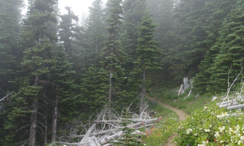
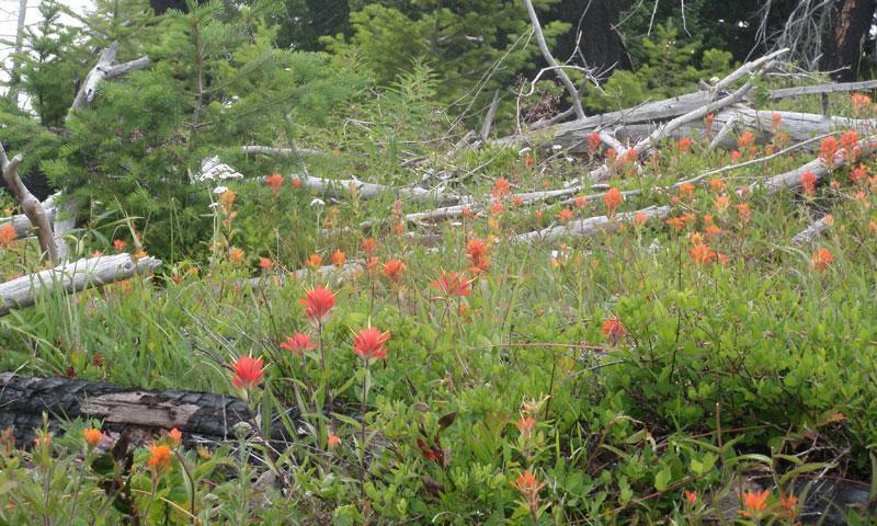
This trail connects Deer Park to neighboring Hurricane Ridge. Beautiful lakes, grand peaks, and lots of wildlife can be seen along the trail, which is one of the most popular in the area. Open from late spring to the first snow covering, this is the highest trail in the park.
- Distance: 15.6 miles round trip
- Average Time: best accomplished as an overnight
- Elevation Gain: 2100 feet
- Difficulty: somewhat strenuous
- Trail type: out-and-back
- Trailhead: Take Highway 101 West from Port Angeles for about 22 miles to Deer Park Road. Turn and follow the signs for the trailhead.
Grand Valley
This trail can be reached from either the Deer Park or Obstruction Point trailheads. Well maintained, it’s marked all the way to Moose Lake. The alpine scenery during the first 2 miles is lovely and the descent to Grand and Moose Lakes is enjoyable as well. Very popular and sometimes crowded during peak season.
- Distance: 8.4 miles round trip
- Average Time: 8-10 hours; campsites are available near the lakes
- Elevation Gain: 1500 feet
- Difficulty: somewhat strenuous
- Trail type: out-and-back
- Trailhead: Take Highway 101 West from Port Angeles for about 22 miles to Deer Park Road. Turn and follow the signs for the trailhead. Then take the Deer Park/Obstruction Point Trail to the Grand Valley Trail, about 10 miles.
Elk Mountain to Deer Park
Leaving from Obstruction Point, the first half of this trail – except for the first half-mile - isn’t all that difficult, so many people go halfway out and then head back. It you’re continuing, however, the climb gets very steep and is often narrow and slick. Once you reach Maiden Peak, the trail descends into the forest again and then heads up to Deer Park.
- Distance: 7.4 miles
- Average Time: 5-10 hours, depending on how far you go
- Elevation Gain: 2200 feet
- Difficulty: Moderate to halfway point; very strenuous for the remainder
- Trail type: one-way
- Trailhead: From Port Angeles, travel to the Port Angeles to the Hurricane Ridge Visitor Center. Look for the dirt road heading off to the left at the entrance of the parking lot. This is Obstruction Point Road, an 8-mile trip to the trailhead. Look for the trail heading to the left to Deer Park.
